imageryPack
A single key, a world of possibilities
Get satellite imagery, geospatial products, and over 30 years of territorial decision‑support expertise in one unified environment
About
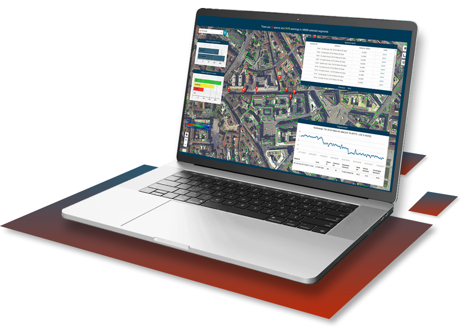
Imagine being able to explore every corner of the Earth, with access to leading satellite constellations and more than 20 years of archived imagery, even request new acquisitions, geospatial products, and training. This way, you always get the solution that fits your needs, even as they evolve.
Developed by Planetek Italia, imageryPack gives you seamless access to the satellite data and products you need, exactly when you need them, without dealing with bureaucracy each time. And you can rely on the Planetek Italia team for expert guidance at every step — from technical support to identify the best data for your project, all the way to final delivery.
Because the real value isn’t just accessing data. It’s knowing which information can truly make a difference.
Read more
Who already chose us

How it works
Start exploring in four simple steps.
Unlock seamless access to cutting‑edge Earth Observation services through a smooth,
intuitive workflow designed to guide you in discovering, evaluating,
and requesting the data and solutions that elevate your project’s impact.
Read more
1 Request access
2 Explore
3 Choose only what you need
4 Reorder without the paperwork